")
ANOTHER GREAT
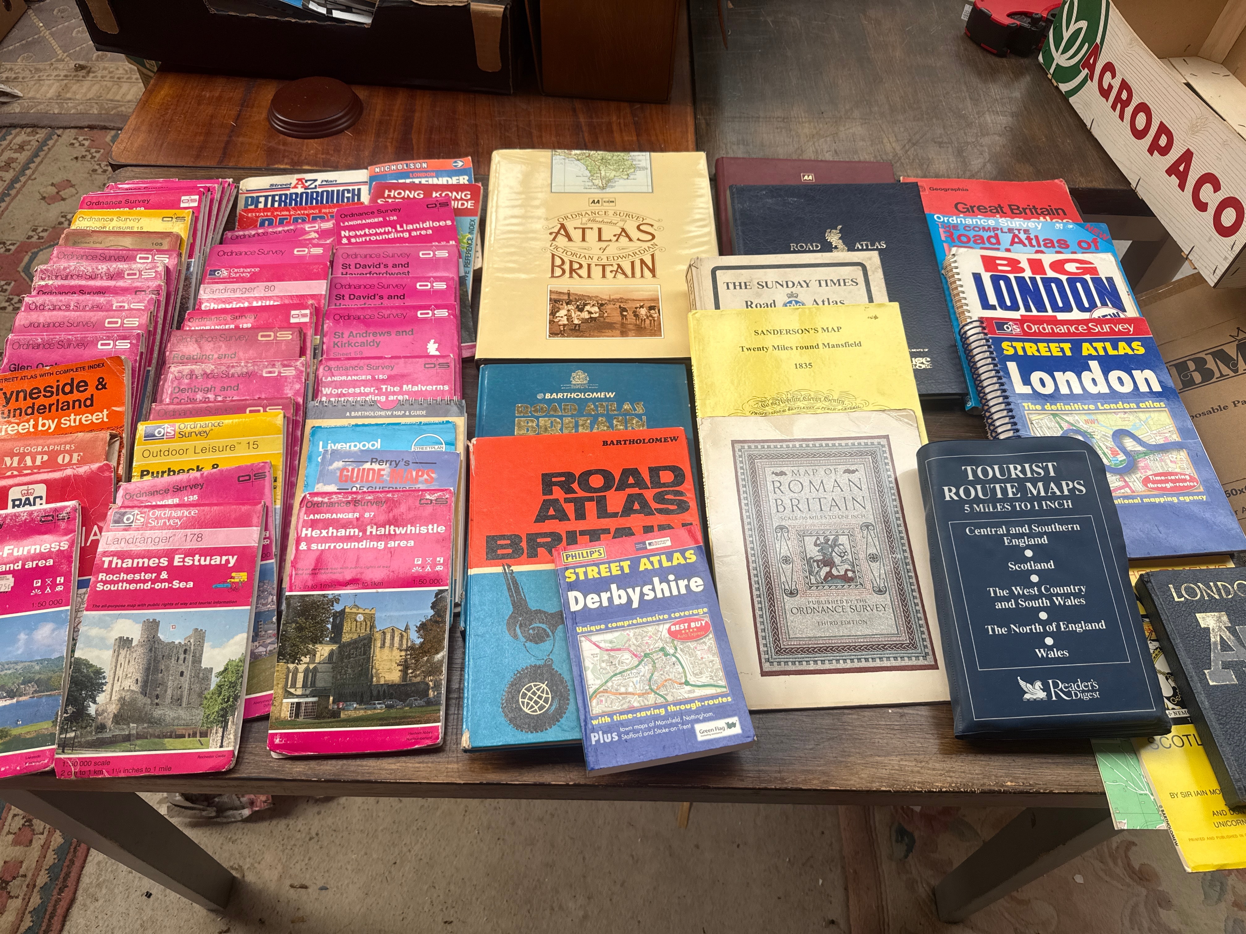
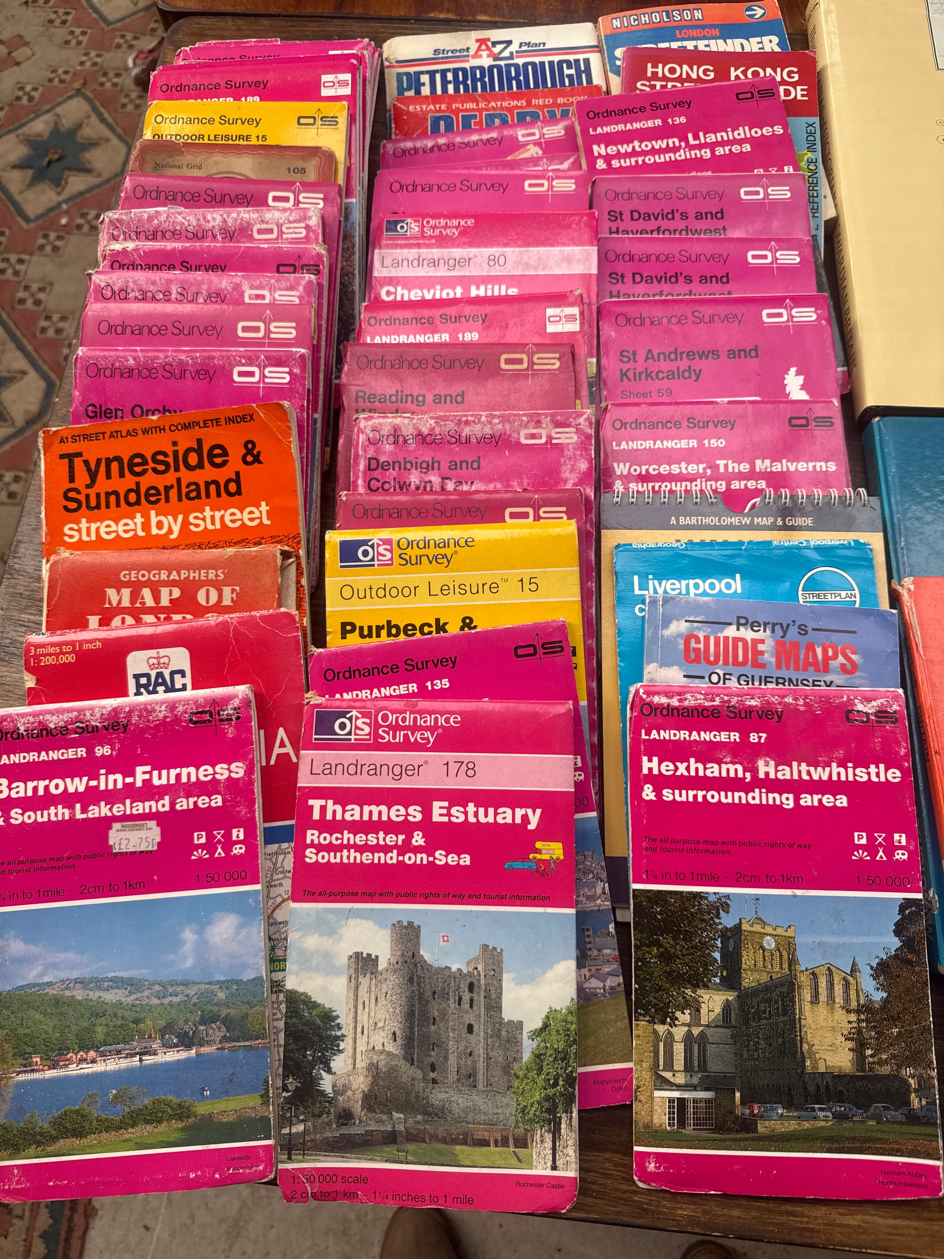
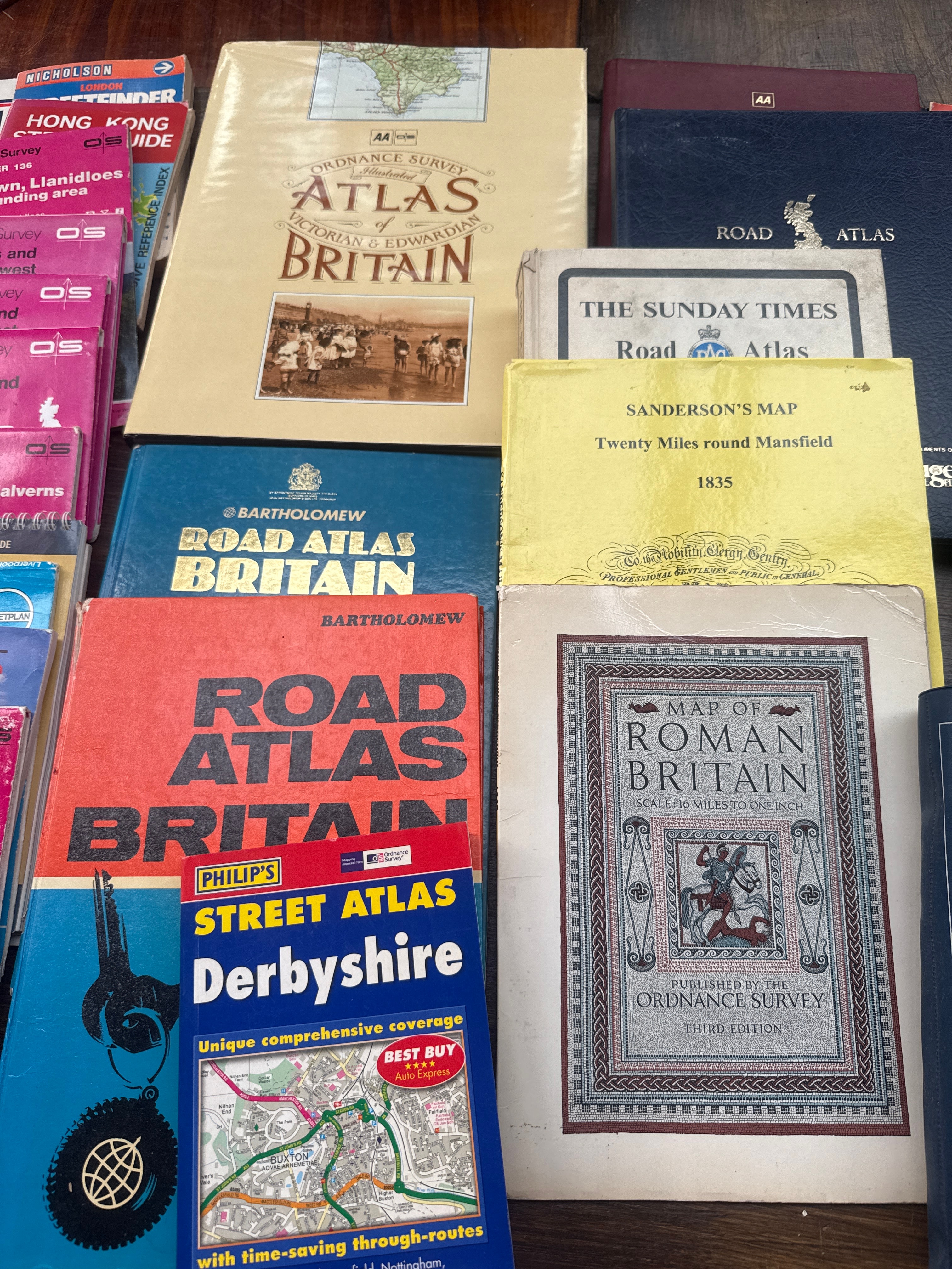
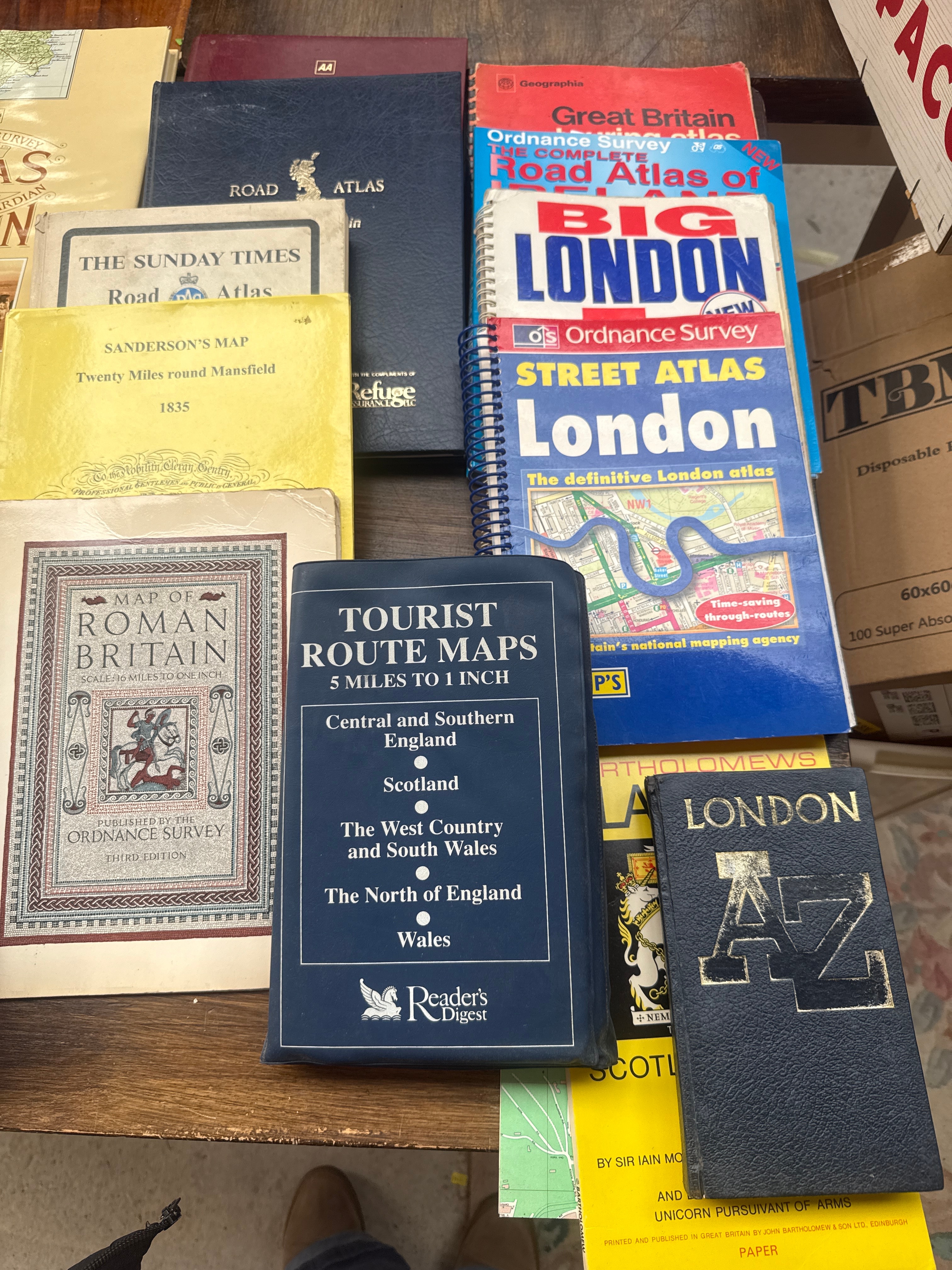
This diverse collection comprises approximately 50-60 maps, atlases, and guidebooks, predominantly focusing on Great Britain and its constituent regions, with one item clearly marked “Hong Kong.” The collection spans a range of styles and periods, from an antique-appearing “Sanderson’s Map” dated 1835 and a “Map of Roman Britain” (Third Edition) to numerous modern, brightly colored paperbacks and spiral-bound street atlases. Prominently featured publishers and series include Ordnance Survey (OS Landranger, Outdoor Leisure), Bartholomew, Philip’s, AA, RAC, and Reader’s Digest. Visible titles include “Road Atlas Britain,” “Street Atlas London,” “Big London,” “Tourist Route Maps,” and specific regional atlases for areas such as Derbyshire, Liverpool, Thames Estuary, and various towns and counties across England, Scotland, and Wales. The collection includes examples consistent with “Bartholomew Road Atlas Britain Hardcover Vintage 1970-71” as identified by web intelligence, alongside other vintage and contemporary examples. The materials are primarily paper and cardstock, with some items featuring glossy, plasticized covers or more robust fabric-covered hardbacks.
Share this lot: